UAV Ontario: The Most Reliable Company for Your Aerial Survey In York Region
When carrying out a standard aerial survey, the surveyor will have to navigate through all the aspects of the land.. Even though this is not so bad, imagine how time-consuming it will be if you have a huge expanse of land? More time means more money out of your. This, coupled with the possibility of injuries, is why you need a drone aerial survey company like UAV Ontario.
How We Do Aerial Drone Survey In York Region
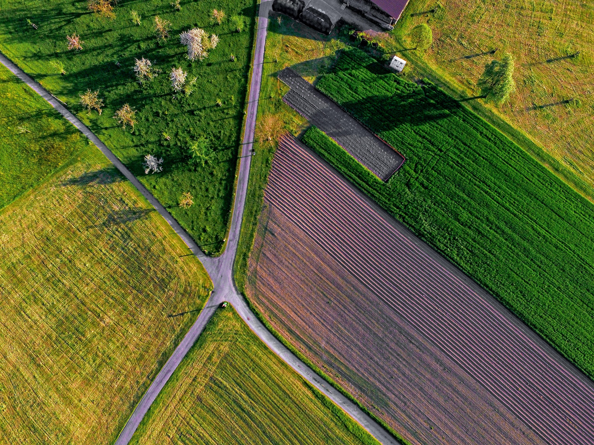
When you choose UAV Ontario for your aerial survey in York Region, you cut the time by more than half and save costs. Additionally, there is less possibility of injuries and errors during the mapping, and you will get more accurate results. This is because we take the mapping to the air with the use of drones. With this, we can accurately map even the most difficult to access areas in half the time – and without danger to anyone!
Our certified UAV operators are skilled in providing accurate mapping results regardless of the terrain. It does not matter where the land is that you want to be mapped, as our experts can navigate the most outrageous terrains. We have the most recent drones in the industry with features like near infrared imaging. With this, we can get accurate results even in areas covered by vegetation and other obstacles.
Our clientele consists of those in Construction, Farming, Energy, Erosion Control, and many more. This means regardless of your line of business; we are your best bet for your aerial survey in Ontario. Do you have a tight budget? Then not to worry. Our aerial survey York Region service is very flexible, and we can come up with a plan for you. Contact us for your drone services in York Region and let us provide you with the best aerial survey possible.