UAV Ontario: Affordable Agricultural Survey Service
One of the most critical aspects of farming is planning. This includes planning how to prepare your land, plant and harvest your crops, etc. In the past, only farmers with experience could easily achieve this, leaving the inexperienced ones to guesswork. Fortunately, things have changed, and technology has risen to make things easier. One of these is using an agricultural survey with the help of a company like UAV Ontario.
Experienced Agricultural Survey Specialists
UAV Ontario is an experienced drone survey company that provides agricultural surveys. Our specialists can help you survey your land and give you designs that will improve your crop yields. We begin our process by evaluating your land and present farming practices. The aim of this is to find out how you can improve and boost your output when the season ends.
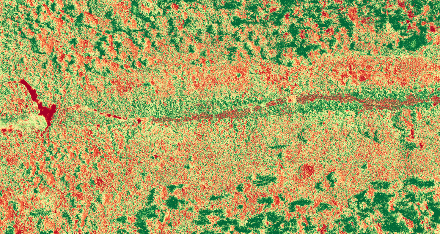
When you call on us for your agricultural surveys, our results are always accurate regardless of the weather. This is because we employ NDVI imagery and Infrared imagery to get the best results. Our specialists can also complete agricultural surveys for furrow irrigation, drainage, contours, land levelling, etc. With the data we provide, you can accurately map your land, prepare for the next season and design your fields for the best crop output.
Already in the planting season and having problems with pests? Not, to worry as our preventive drone surveys can help. Our experts can quickly survey your land to find pests that are causing problems so you can quickly eradicate them. This easy option helps you protect your farmland and profit without spending too much. Connect with us today, and let us provide you with accurate data that will help scale your farm!