UAV Ontario Aerial Survey Services
If you are into agriculture and have vast land, you certainly know how hard it can be to keep track of crops. It may cost you a tremendous amount of workforce and resources, both of which may not do the job correctly. Nonetheless, it is an essential aspect of agriculture because if you fail to do it, you may miss problems that could result in severe losses.
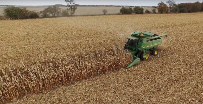
An excellent way to get around this problem is to use a professional company like UAV Ontario that provides aerial surveys. Our experts can help monitor your crops and make sure they are of the right height and condition. We also offer drone photography services that can provide you with a high-quality aerial image of your farm. This will help you spot areas that may be experiencing erosion that you need to deal with.
Using our georeferenced land survey, you can detect pests’ presence on your farm and quickly eradicate them before they cause any damage. We also offer you the option of viewing recorded footage or a live view of your land mass if you prefer. You also have the choice to choose both options, depending on what you feel will offer your business the best results.
When you choose UAV Ontario, you enjoy the following benefits:
- Better crop health
- Early detection of disease
- Reduction of loses
- Better crop yields
For any agricultural producer who is serious about increasing their yields, UAV Ontario is the best bet.

