HOME
ABOUT
SERVICES
Orthomosaic Drone Mapping
Digital Terrain Models
Construction Progress
Vegetation Mapping
Road & Corridor Mapping
LiDAR Mapping
Drone Video Production
Emergency Services Operations
OPERATIONS
NEWS
CONTACT
Rate Us
Rate Us
(437) 826-2646
August 17, 2023
Comments Off
on
Share this post:
«
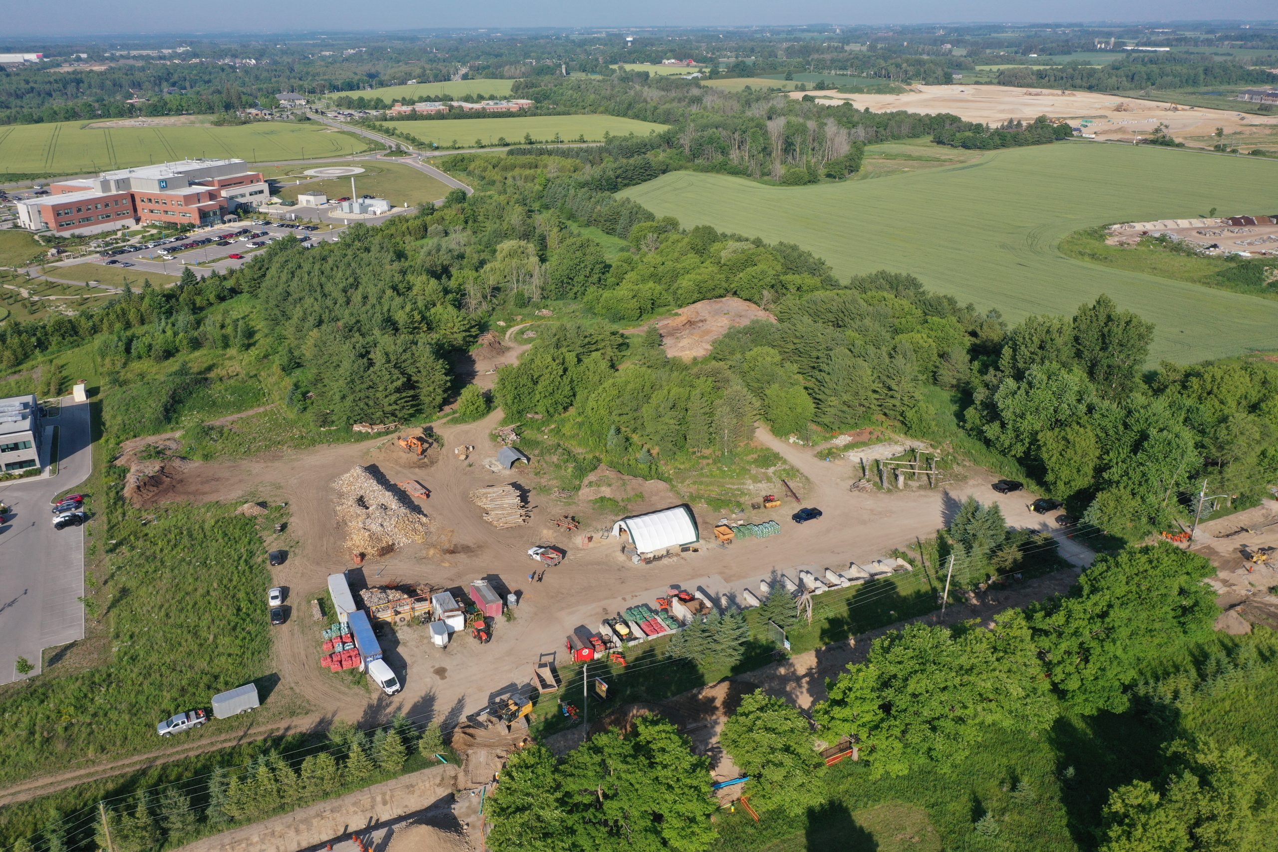
Aerial Survey Fergus, Ontario: Photo and LiDAR Data Collection via Drone
Comments are closed.
Work With Us
Contact Information
6-14845 Yonge St. #447
Aurora, Ontario
L4G 6H8
(437) 826-2646
info@uavontario.com
facebook.com/UAVOntario/
Drone services in Barrie, Simcoe County, York Region and throughout Ontario.
Comments are closed.