OPERATIONS

Aerial Survey Fergus, Ontario: Photo and LiDAR Data Collection via Drone
UAV Ontario, a leading drone services provider, recently conducted an advanced drone survey for a property located in Fergus, Ontario ...

Aerial Photography Barrie: Collaboration with Eye in the Sky
We are excited to announce our latest collaboration with Eye in the Sky Custom Aerial Photography (www.eyeinsky.ca), to have a ...
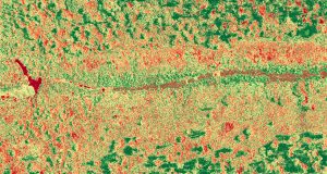
UAV Ontario: Affordable Agricultural Survey Service
One of the most critical aspects of farming is planning. This includes planning how to prepare your land, plant and ...
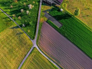
UAV Ontario: The Most Reliable Company for Your Aerial Survey In York Region
When carrying out a standard aerial survey, the surveyor will have to navigate through all the aspects of the land ...
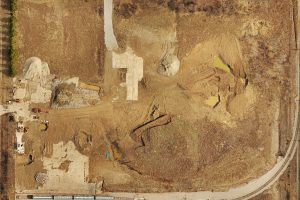
High Quality Drone Survey Service
View the completed map here. What if you could sit back, relax, and let a professional company help you with ...
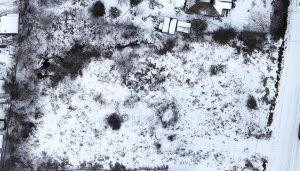
Reliable Drone Survey in Ontario
If you have a real estate property consisting of high-rise buildings, it can be a nightmare to get a proper ...
UAV Ontario: Drone Mapping in Ontario
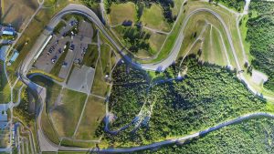
Drone mapping in Ontario is a great way to get aerial data without putting yourself in danger. Mapping with drones ...
UAV Ontario Aerial Survey Services
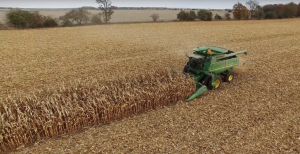
If you are into agriculture and have vast land, you certainly know how hard it can be to keep track ...

Aerial Surveys Made Easy – Gain Access to the Best Quality UAV Technology for Commercial and Industrial Projects
When it comes to commercial and industrial development, the quality of the aerial surveys that are needed for ideal results ...
Orthographic Aerial Photography Solutions
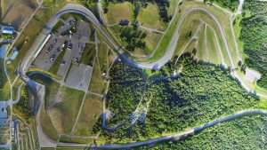
Orthographic aerial photography has become a key part of project management due to the invaluable detail it offers of landscapes ...
Surveys Made Easier with the Most Advanced UAV Service in Ontario
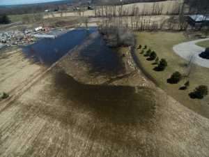
Are you looking for ways to make aerial surveys easier? If you’re interested in high quality insurance surveys and aerial ...
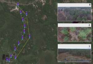
Georeferenced Land Survey – Versatility and Efficiency with Advanced Photography and Videography
The state-of-the-art georeferenced land survey services offered by UAV Ontario use the most modern unmanned air vehicles, also known as ...

Legal Drone Photography
A Special Flight Operations Certificate (SFOC) provides an approval to operate unmanned air vehicle (UAV) (non-recreational drone) and tells you ...
